
Best Easy Hikes in Sedona for Seniors & Beginners
The best easy hikes in Sedona are the Bell Rock Pathway (flat, family-friendly), Red Rock Crossing at the Crescent Moon Picnic Site (paved, wheelchair-accessible), West Fork Trail (nearly flat first 2 miles), the Amitabha Stupa & Peace Park (0.5 mi loop), and the Chapel of the Holy Cross (no hike, just walk up the ramp). All offer stunning views without scrambling.
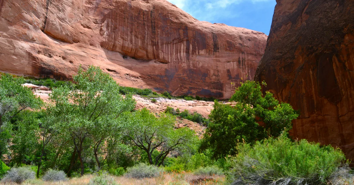
Photo by Alex Moliski on Unsplash
Best Easy Hikes in Sedona for Seniors & Beginners
Quick Answer: The best easy hikes in Sedona are the Bell Rock Pathway (flat, family-friendly), Red Rock Crossing at the Crescent Moon Picnic Site (paved, wheelchair-accessible), West Fork Trail (nearly flat first 2 miles), the Amitabha Stupa & Peace Park (0.5 mi loop), and the Chapel of the Holy Cross (no hike, just walk up the ramp). All offer stunning views without scrambling.
You don't need to climb Cathedral Rock to experience Sedona's magic. This guide covers the flat, gentle, and accessible options that put you face-to-face with red rocks without the risk of injury or exhaustion. Perfect for seniors, kids, mobility-limited visitors, or anyone who wants views without effort.
What Makes a Sedona Hike "Senior-Friendly"?
- Flat or gentle grade — Less than 200 feet of elevation gain per mile
- No scrambling — You should never need your hands to stay upright
- Well-marked trail — No boulder-hopping route-finding
- Good footing — Compact dirt, sand, or paved surfaces (avoid loose rock)
- Shade or water — Not required, but a huge plus in summer
Every hike below meets those criteria unless otherwise noted.
The 10 Best Easy Hikes in Sedona
1. Bell Rock Pathway — The Best All-Around Easy Hike
- Distance: Up to 3.6 miles round-trip (turn around any time)
- Elevation Gain: 100 feet (nearly flat)
- Difficulty: Very easy
- Trailhead: Courthouse Vista OR Bell Rock Trailhead, Highway 179
- Coordinates: 34.8102° N, 111.7657° W
- Open in Google Maps
- Time: 30 minutes to 2 hours
- Restrooms: Yes at trailhead
- Dog-friendly: Yes, on leash
The wide, well-graded path runs between Bell Rock and Courthouse Butte with head-on views of both. Turn around whenever you're tired — every step is a good photo. Benches along the way.
2. Red Rock Crossing (Crescent Moon Picnic Site) — Paved, Iconic Views
- Distance: 0.5 miles paved loop
- Elevation Gain: Negligible
- Difficulty: Very easy / wheelchair-accessible with assistance
- Trailhead: Crescent Moon Picnic Site (fee area, $12 per car)
- Coordinates: 34.8256° N, 111.8250° W
- Open in Google Maps
- Time: 30–60 minutes
- Restrooms: Yes
- Dog-friendly: Yes, on leash
The most photographed spot in Sedona — Cathedral Rock reflected in Oak Creek. Paved trail leads to the water. Bring a picnic. Wheelchair users should have an assistant for the last few feet of soft soil at the creek edge.
3. Chapel of the Holy Cross — No Hike Needed
- Distance: 0.1 miles up a paved ramp
- Elevation Gain: Minimal
- Difficulty: Very easy (some may find the ramp grade taxing)
- Location: 780 Chapel Road, Sedona, AZ 86336
- Coordinates: 34.8322° N, 111.7660° W
- Open in Google Maps
- Time: 30–45 minutes
- Restrooms: No (nearest are at the parking lot below)
- Cost: Free
Sedona's most iconic building. Park at the base lot, walk the ramp up. Views inside the chapel and from the observation area are unforgettable. Handrails throughout.
4. Amitabha Stupa & Peace Park — Meditation and Prayer Walk
- Distance: 0.5 miles of soft trails
- Elevation Gain: Minimal
- Difficulty: Very easy
- Location: 2650 Pueblo Drive, Sedona, AZ 86336
- Coordinates: 34.8747° N, 111.7913° W
- Open in Google Maps
- Hours: 8:30 a.m.–6 p.m. daily
- Cost: Free
- Restrooms: Portable
A 14-acre Buddhist sanctuary in West Sedona with a 36-foot stupa. Serene, quiet, and open to all faiths. Benches along the walk for rest.
5. West Fork Trail (First 1–2 Miles) — Creekside and Shaded
- Distance: Up to 6.9 miles round-trip; even 1 mile in is worth it
- Elevation Gain: Nearly flat
- Difficulty: Easy (some creek crossings — bring water shoes or wear waterproof boots)
- Trailhead: Call of the Canyon Recreation Site
- Coordinates: 34.9880° N, 111.7443° W
- Parking: $12 per vehicle
- Restrooms: Yes at trailhead
- Time: 1 hour to full day
The most beautiful easy hike in Sedona. The first mile is completely flat, wooded, and cool even in summer. Turn around whenever the creek crossings get too tricky.
6. Sugarloaf Loop Trail — Best Panoramic Views in a Short Loop
- Distance: 2 miles loop (option to shortcut)
- Elevation Gain: 300 feet
- Difficulty: Easy–Moderate (some short inclines)
- Trailhead: Sugarloaf Trailhead
- Coordinates: 34.8779° N, 111.7834° W
- Open in Google Maps
- Time: 1–2 hours
Underrated. Short summit walk gives you 360° views of Sedona without any scrambling. Very quiet trail.
7. Baldwin Trail — Cathedral Rock Views Without the Climb
- Distance: 1.9 miles loop
- Elevation Gain: 190 feet
- Difficulty: Easy
- Trailhead: Baldwin Trailhead, Verde Valley School Road
- Coordinates: 34.8151° N, 111.7965° W
- Open in Google Maps
- Time: 1 hour
- Restrooms: Pit toilet at trailhead
A loop that follows Oak Creek with unbeatable views of Cathedral Rock from below. Perfect for people who want the classic photo without any elevation gain.
8. Yavapai Vista Trail — Short and Sweet Overlook
- Distance: 0.5 miles round-trip
- Elevation Gain: Minimal
- Difficulty: Very easy
- Trailhead: Yavapai Vista Point, Highway 179
- Coordinates: 34.8117° N, 111.7702° W
- Time: 30 minutes
Barely a hike, but a quick way to a beautiful red rock overlook. Great for a first-day arrival stop.
9. Bell Rock Vista Trail — Even Shorter Bell Rock Option
- Distance: 0.6 miles round-trip
- Elevation Gain: Minimal
- Difficulty: Very easy
- Trailhead: Bell Rock Vista Trailhead, Highway 179
- Coordinates: 34.8058° N, 111.7692° W
- Time: 30 minutes
The shortest way to a great view of Bell Rock and Courthouse Butte. Wide graded path; benches along the way.
10. Fay Canyon Trail — Easy Canyon Wander
- Distance: 2.4 miles round-trip
- Elevation Gain: 200 feet
- Difficulty: Easy
- Trailhead: Fay Canyon Trailhead, Boynton Pass Road
- Coordinates: 34.9091° N, 111.8757° W
- Open in Google Maps
- Time: 1–1.5 hours
Beautiful walled canyon with lots of shade. Optional side trail leads to a natural arch — a bit more challenging, skippable for a flat walk.
Wheelchair-Accessible Options in Sedona
Sedona's terrain is rugged, but a few spots work well for wheelchairs:
- Chapel of the Holy Cross — Paved ramp, handrails, accessible parking
- Red Rock Crossing / Crescent Moon Picnic Site — Paved main path to the water's edge (last few feet are soft dirt)
- Airport Mesa Overlook — Paved parking with immediate viewpoint access
- Amitabha Stupa & Peace Park — Firm dirt paths, mostly flat
- Tlaquepaque Arts Village — Cobblestone but flat, benches throughout
- Bell Rock Pathway (first 0.5 mi) — Wide and firm; accessible with a rugged wheelchair
For a fully accessible experience, book a Sedona Trolley Tour ($16–$21, 55 min) — accessible on request.
Tips for Older Adults Hiking in Sedona
- Altitude: Sedona is at 4,500 feet. If you're coming from sea level, expect to feel slightly winded for the first day. Hydrate more than usual.
- Sun protection: Wide-brimmed hat, sunscreen (SPF 30+), and long sleeves in summer. The high desert sun is stronger than it feels.
- Water: 1 liter per hour of hiking is the rule.
- Hiking poles: Even on easy trails, poles help with balance and knee support on gentle slopes.
- Footwear: Trail runners or lightweight hiking shoes with tread. Skip street sneakers on sandstone.
- Best times: Early morning (before 10 a.m.) or late afternoon (after 4 p.m.) in warm months.
- Have a plan B: If a trailhead is full, know your backup.
Hikes to Avoid If You Have Mobility Concerns
- Cathedral Rock Trail — steep, requires scrambling
- Devil's Bridge (final approach) — exposed narrow ledge
- Soldier Pass Cave — technical scramble
- Birthing Cave — slickrock scramble at end
- Bear Mountain — 2,000 ft gain, steep
- Wilson Mountain — 2,300 ft gain, long
Any of these can be enjoyed partially — for example, Cathedral Rock's Baldwin Trail base gives you the view without the climb.
Frequently Asked Questions
What is the easiest hike in Sedona with the best views? Bell Rock Pathway — nearly flat, head-on views of Bell Rock and Courthouse Butte, and you can turn around any time.
Is Sedona good for seniors? Yes, absolutely. Sedona has excellent flat trails, a paved Chapel walk, the Trolley tour, and mild-off-road Jeep tours. Most seniors do 3–5 days of activities without any issues.
Are there wheelchair-accessible trails in Sedona? Yes: the Chapel of the Holy Cross ramp, Red Rock Crossing paved path, Airport Mesa Overlook, and portions of the Bell Rock Pathway and Amitabha Stupa.
How does Sedona's elevation affect older hikers? Sedona sits at 4,500 ft. Most people acclimate within 24 hours. Symptoms like light shortness of breath, mild headache, or dry throat are normal — extra water helps. Anyone with heart or lung conditions should check with their doctor before intense activity.
Can seniors do the Broken Arrow Jeep tour? Most seniors can, but Pink Jeep restricts riders with recent back or neck surgery or serious spine issues. If concerned, choose a paved-road scenic Jeep tour or the Sedona Trolley instead.
Do I need a Red Rock Pass for the Chapel or Amitabha Stupa? No — neither is a Forest Service site. Free parking and entry to both.
Related Guides
- Best Hikes in Sedona: Complete Trail Guide
- Sedona Red Rock Pass & Parking Guide
- Chapel of the Holy Cross & Sedona's Iconic Landmarks
- Best Family & Kid-Friendly Things to Do in Sedona
Plan Your Trip
Explore senior-friendly experiences, accessible tours, and Sedona insider perks at SedonaPassport.com.
Topics